Network
Reception Capability
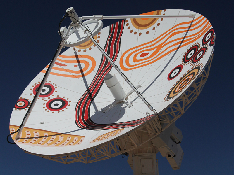
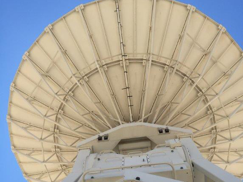
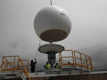
Geoscience Australia, Alice Springs, NT, ASP1 Datron 9m
Geoscience Australia, Alice Springs, NT, ASP2 Viasat 9m
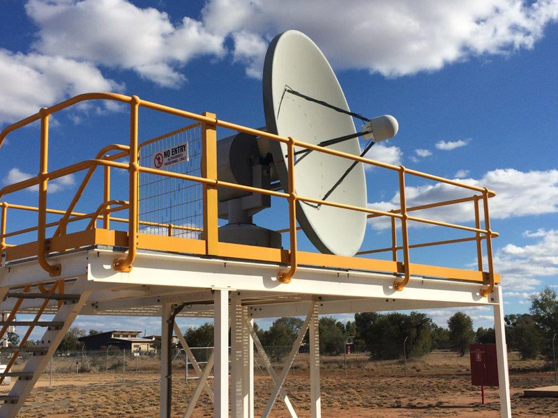
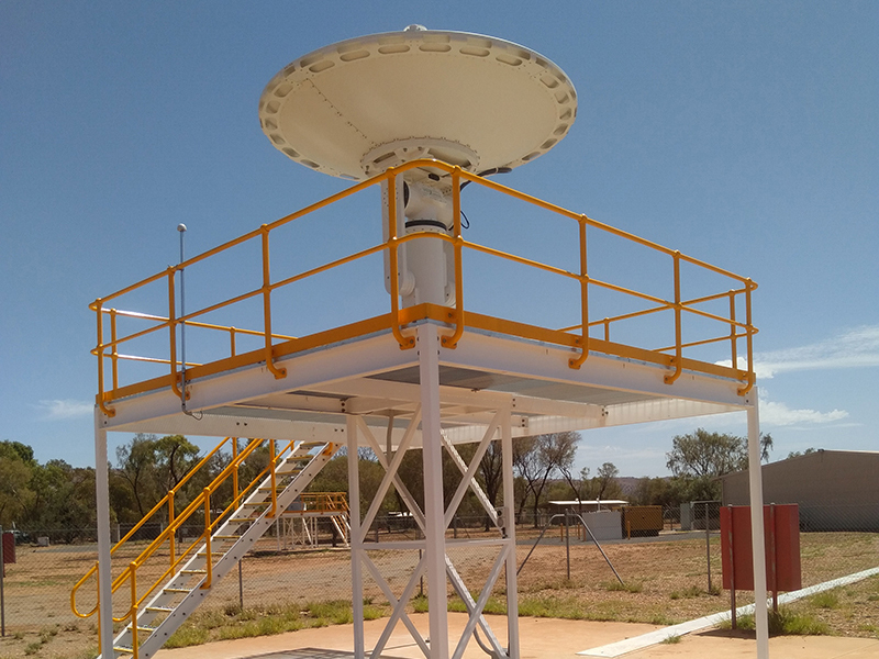
Geoscience Australia, Alice Springs, NT, ASP3 ESS 2.4m
Geoscience Australia, Alice Springs, NT, ASP4 Orbital 3m
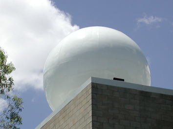
AIMS, Cleveland Bay, Queensland, AIMS ESS 2.4m
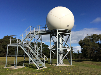
Murdoch University, Perth WA, Murdoch Seaspace X-band
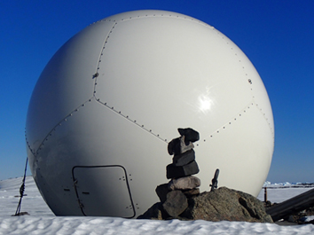
Bureau of Meteorology, Davis Station, Antarctica, BoM Davis Station Orbital Systems 2.4m
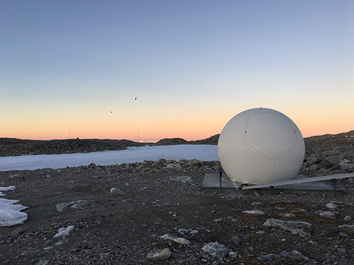
Bureau of Meteorology, Casey Station, Antarctica, BoM Casey Station Orbital Systems 2.4m
Bureau of Meteorology, Crib Point, Victoria,BoM Crib Point Orbital Systems 2.4m
Bureau of Meteorology, Shoal Bay, NT, BoM Shoal Bay Orbital Systems 2.4m
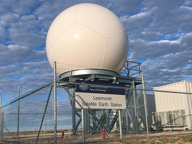
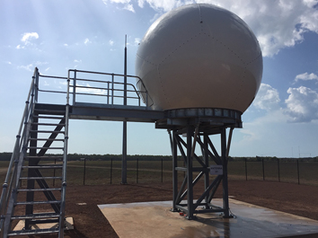
Bureau of Meteorology, Learmonth, WA, BoM Learmonth Orbital Systems 2.4m
Australia's Earth Observation Ground Segment Network
The Australian National Ground Segment Technical Team (ANGSTT) comprises:
- Geoscience Australia (Commonwealth of Australia)
- Bureau of Meteorology (Commonwealth of Australia)
- Western Australian Land Information Authority (Landgate)
- The Commonwealth Scientific and Industrial Research Organisation (CSIRO) (Commonwealth of Australia)
The ground stations operated by the ANGSTT member organisations offer a range of Earth Observation Satellite (EOS) reception capability. This capability is categorised according to 'tiers' as outlined in the table below. The ground station tier determines which satellites may be received at a given ground station antenna.
| Requirement | Tier 1 | Tier 2 | Tier 3 | Tier 4 |
|---|---|---|---|---|
| Tracking | Yes | Yes | Yes | No |
| Elevation masks | < 3° | < 3° | < 5° | Line of sight to geostationary satellite |
| Antenna size | Large ~ > 10 m | Medium to large ~ > 8 m | Small ~ < 3 m | Small ~ < 3 m |
| Standard frequency band(s) for downlink | X, Ku, Ka | X | X, L | C, L, S |
| Standard frequency band(s) for uplink | S | — | — | — |
| Standard communications link bandwidth | ≥ 1 Gbps Gbit/s — 100 Mbit/s | ≥ 100 Mbit/s | ≥ 100 Mbit/s | ≥ 10 Mbit/s |
The role, responsibility and capability of each ANGSTT member organisation is described below:
Geoscience Australia is responsible for:
- Tier 1 and 3 Earth Observation Ground station planning, construction, operation, maintenance and decommissioning;
- Representing the land imaging user community; and
- Representing the high resolution low latency user community.
The Bureau of Meteorology is responsible for:
- Tier 3 and 4 Earth Observation Ground station planning, construction, operation, maintenance and decommissioning; and
- Representing the meteorological user community.
The Commonwealth Scientific and Industrial Research Organisation is responsible for:
- Representing the research user community.
Landgate is responsible for:
- Representing the emergency management user community;
A summary of capability and EOS platforms currently received through the ANGSTT network is now available.